ABOUT
Yellowdog Watershed
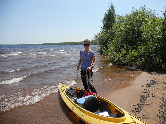
The Yellow Dog River Watershed lies in eastern Baraga and western Marquette Counties in the Upper Peninsula of Michigan. The area is known as the Huron Peninsula and is one of the last wild areas in the state. The river begins in the McCormick Wilderness Area as an outflow of Bulldog Lake. It then runs 52 miles and drops 1096 feet at an average rate of 1:150ft through granite gorges, open plains, and hemlock forests to end in Lake Independence. From there, another outflow, the Iron River, runs from Independence to Lake Superior.
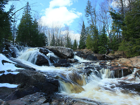
The Iron River was historically part of the Yellow Dog River but had its name changed once industry came to the area. The watershed encompasses 98 square miles and drains countless wetlands and more than six creeks, including: Lost, Bob, Bushey, Big Pup, and Little Pup creeks. Waterfalls abound along the Yellow Dog and its tributaries. The terrain is very hilly (some flatlanders might even say mountainous) with high ridges and low valleys giving a spectacular view. The highest point in the watershed is over 1600ft. Not only can you see the river and forests from the hilltops but also Lake Superior. Wetlands abound and the forest type varies from old growth pine groves to aspen regeneration to stands of hardwood/conifer mix.
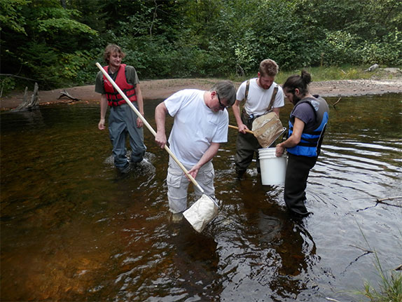
The Yellow Dog River is one of the cleanest and least contaminated rivers in Michigan. Only the first four miles of the river have a protective designation, however. As the Yellow Dog River flows through the Ottawa National Forest, it is considered a federal Wild and Scenic River. After that, the river flows mostly through corporately owned logging areas and is susceptible to logging practices. The water quality is above and beyond drinking water standards and it is considered a cold water fishery and a blue ribbon trout stream by the State of Michigan. The MDEQ does however, consider the river to have elevated mercury levels. Other river health concerns rise from two past landslides that caused large amounts of sediment to pass into the river. The landslides took place in 2000 and 2003 and were majoritavely caused by the close proximity of logging roads to the high sand banks of the river.